MetService Weather Balloon found on YEPT Reserve

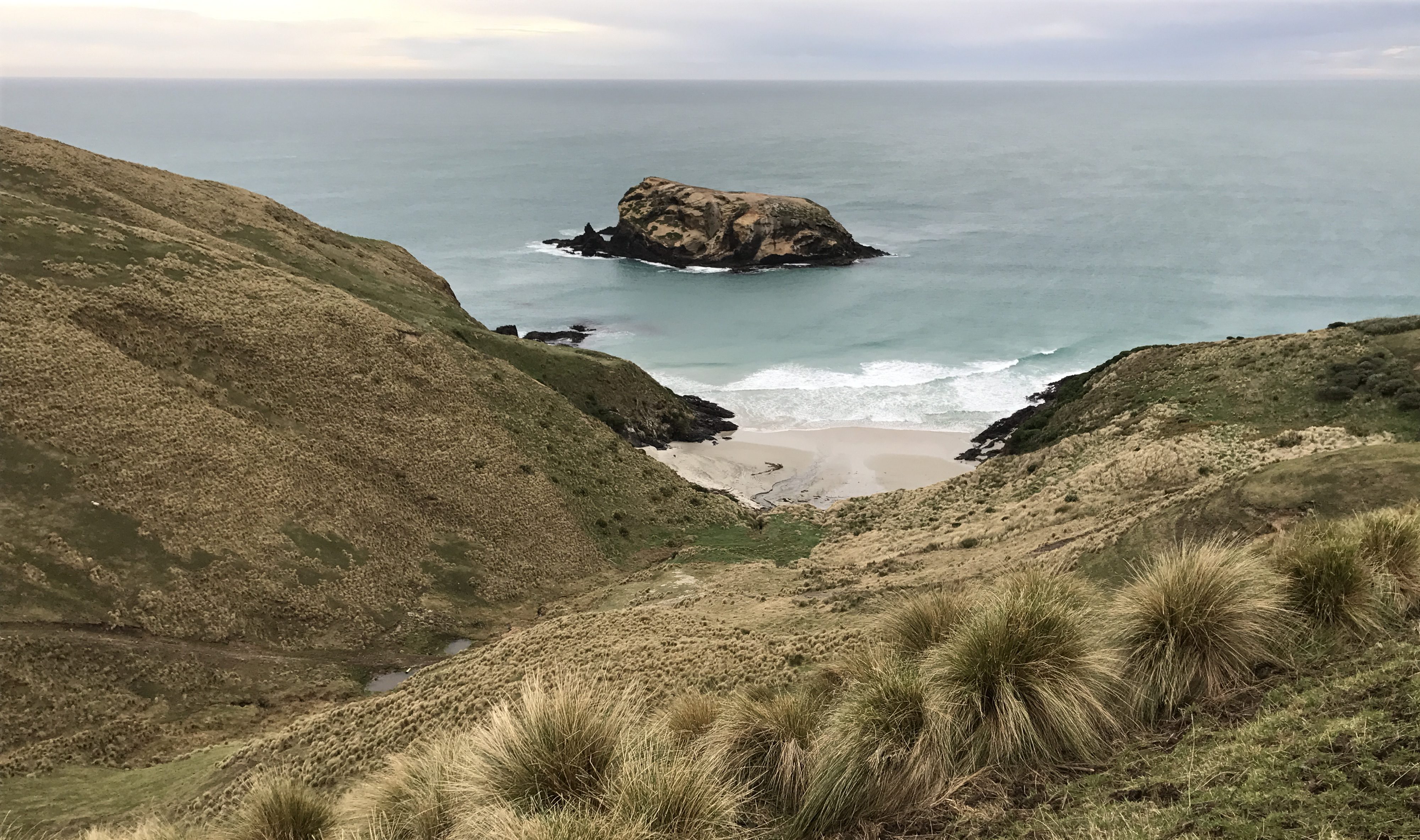
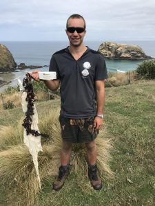
It’s amazing some of the things our field team find washed up on our reserves. The latest discovery – a MetService weather (meteorological) balloon found at Otapahi Reserve on the Otago Peninsula!
Fortunately, the serial number remained attached to the balloon and we were able to get in touch with the MetService team and find out more information about where the balloon came from, when it was launched, and the information it was recording.
Quick Facts from MetService
- The Balloon was released from Invercargill
- Date and time of release: 10:43pm 30th December 2017
- Max height the balloon reached: 23,957m
- Time duration of the ascent: 70.5mins
- Coldest temperature recorded during the ascent: -67.9°C at 13,100m
- Strongest wind recorded during the ascent: 148kph from the west at 12,940m
Information about meteorological balloons
The balloons are made in Japan specifically for the use as weather balloons. They are a compound of natural latex and chloroprene, synthetic latex. The balloon would have been about 1m in diameter when it was released and expanded to approximately 5m in diameter as it ascended through the atmosphere until it reached a point where it burst. These balloons average heights between 59,000ft (18,000m) and 100,000ft (30,500m) on a good day!
The white box is called a Radiosonde. It transmits pressure, temperature and humidity data back to a receiver in the office it was released from as it ascends through the atmosphere. The data is then processed by a computer, coded and sent to our head office in Kelburn, Wellington.
MetService use hydrogen to fill the balloon and that makes it rise through the atmosphere. Hydrogen is a highly flammable gas and every care is made to ensure the safe handling of the hydrogen while the balloon is filled. We would like to use helium (like party balloons are sometimes filled with) but while this is an extremely safe gas it is also very expensive.
The data from the balloon flight is used to draw weather maps at various levels throughout the atmosphere, and from these maps we are able to determine what the weather is going to be over the next 7 days. The data is also sent out to other Metservices around the world and used in super computers to produce global weather models.
In New Zealand radiosonde flights are made daily at 11am at Whenuapai, Paraparaumu, Invercargill, and Raoul Island (1000km NE of New Zealand). Whenuapai, Paraparaumu, and Invercargill also do radiosonde flights at 11pm.


